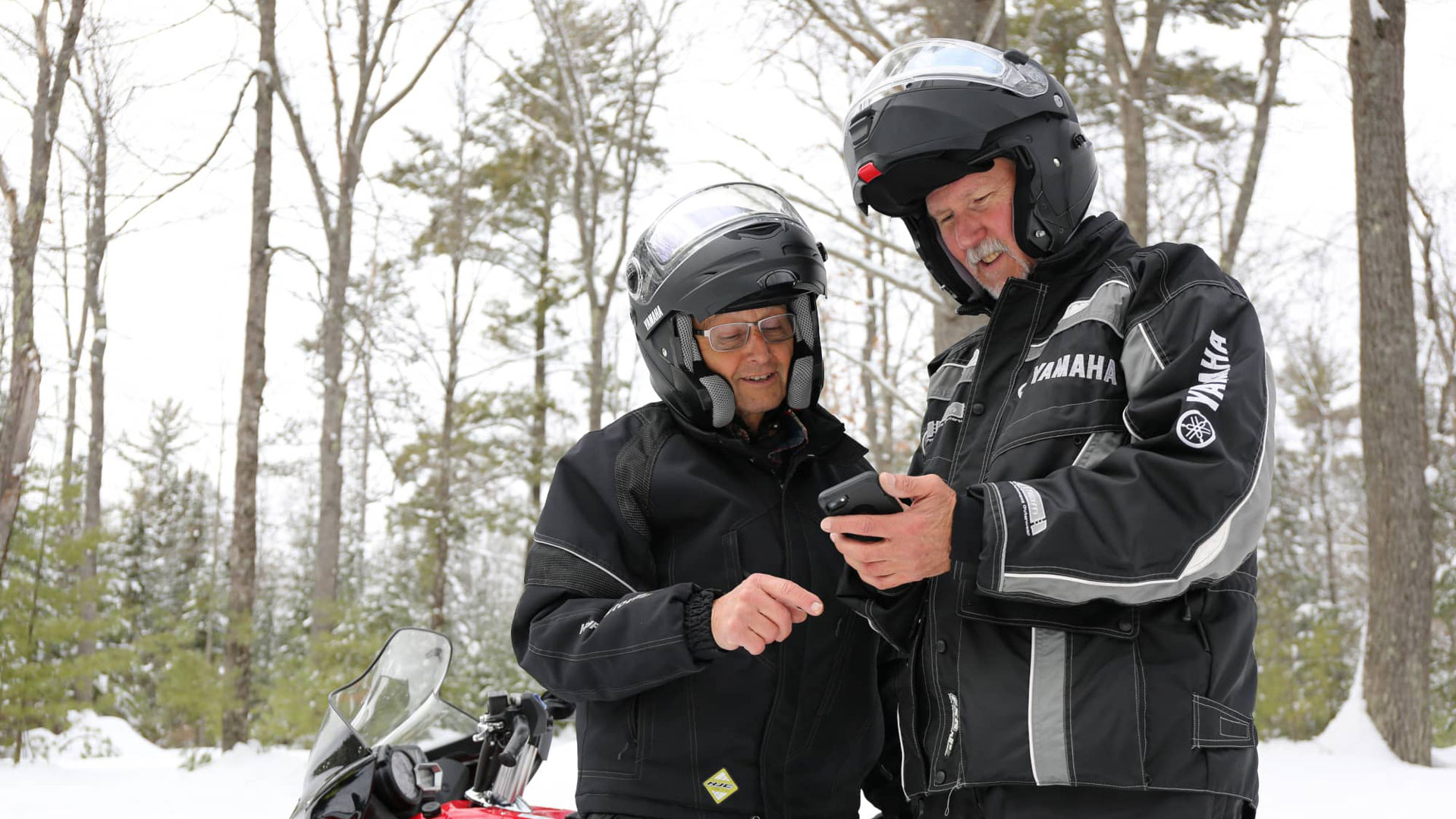
Vilas County has some of Wisconsin’s best snowmobile trails—plus a great free tool that will help you explore them! The Map It Vilas County trails app features more than a hundred routes for hiking, biking, cross-country skiing and much more, including snowmobiling. Here’s how the app can help you plan and navigate a Northwoods snowmobiling adventure this winter.
How does the app work?
It’s got all of Vilas County’s public trails in Vilas County mapped with GPS. So, when you’re out on the trail, you can open the app and see your exact location. It’s a great tool when you’re unsure of where you are or want to check your progress, and it’s a nice complement to the printed maps published by Vilas County’s clubs. It also works even if you don’t have a cell signal!
Is the app available on Apple or Android devices?
Yes! The free app is available on both platforms.
What communities does the app cover?
The app includes trails throughout the 12 communities of Vilas County, including Boulder Junction, Conover, Eagle River, Lac du Flambeau, Land O’ Lakes, Manitowish Waters, the Minocqua Area, Phelps, Presque Isle, Sayner-Star Lake, St. Germain and Winchester.
What do the trail colors signify?
The trail colors on the interactive map correspond to the club trails that make up Vilas County’s trails network. Together, the clubs groom and maintain more than 700 miles of trails that are open to the public all winter long.
